Pacific Coast Highway (PCH)
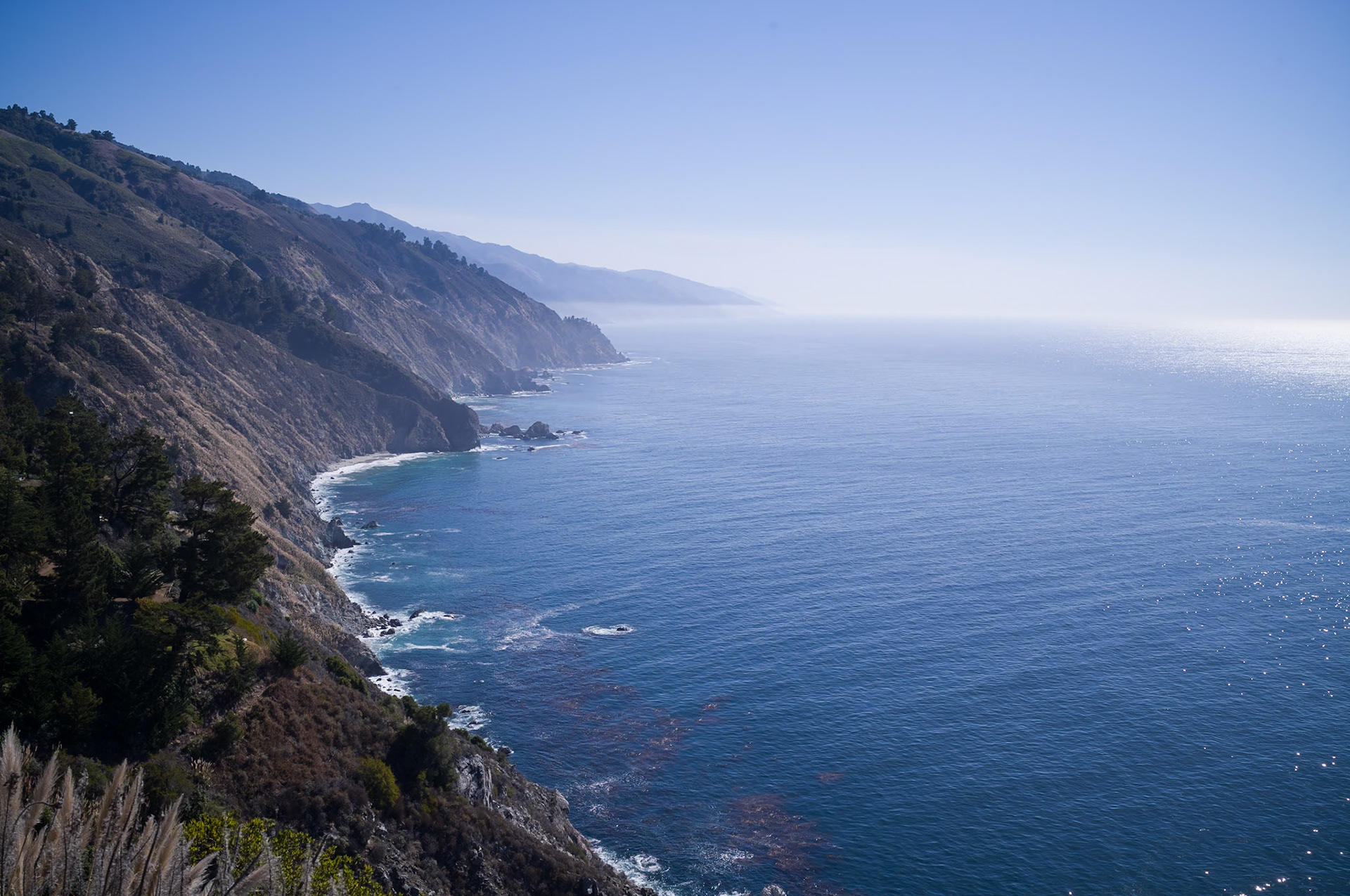
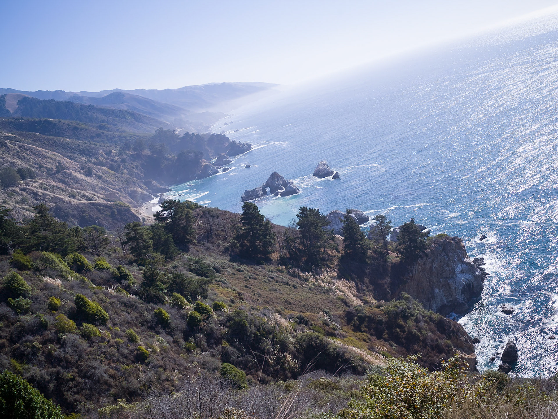
Embarking on a journey along the Pacific Coast Highway (PCH), officially known as California State Route 1, is to traverse one of the most breathtaking scenic drives not just in the United States, but arguably in the world. This storied route, which hugs much of the California coastline, offers more than just transportation; it presents a panoramic canvas of stunning ocean vistas, charming coastal towns, and the untamed natural beauty that has become synonymous with the Golden State.
The dream of a coastal thoroughfare dates back to the early 20th century, a time when the California coast was a fragmented puzzle of rough-hewn roads and trails. The burgeoning automobile era, coupled with public thirst for leisurely travel, fueled the demand for a continuous, smooth ribbon of highway. They say the PCH is where you 'find yourself' – probably because cell service is so spotty, you've got no choice but to talk to your inner demons for a change.
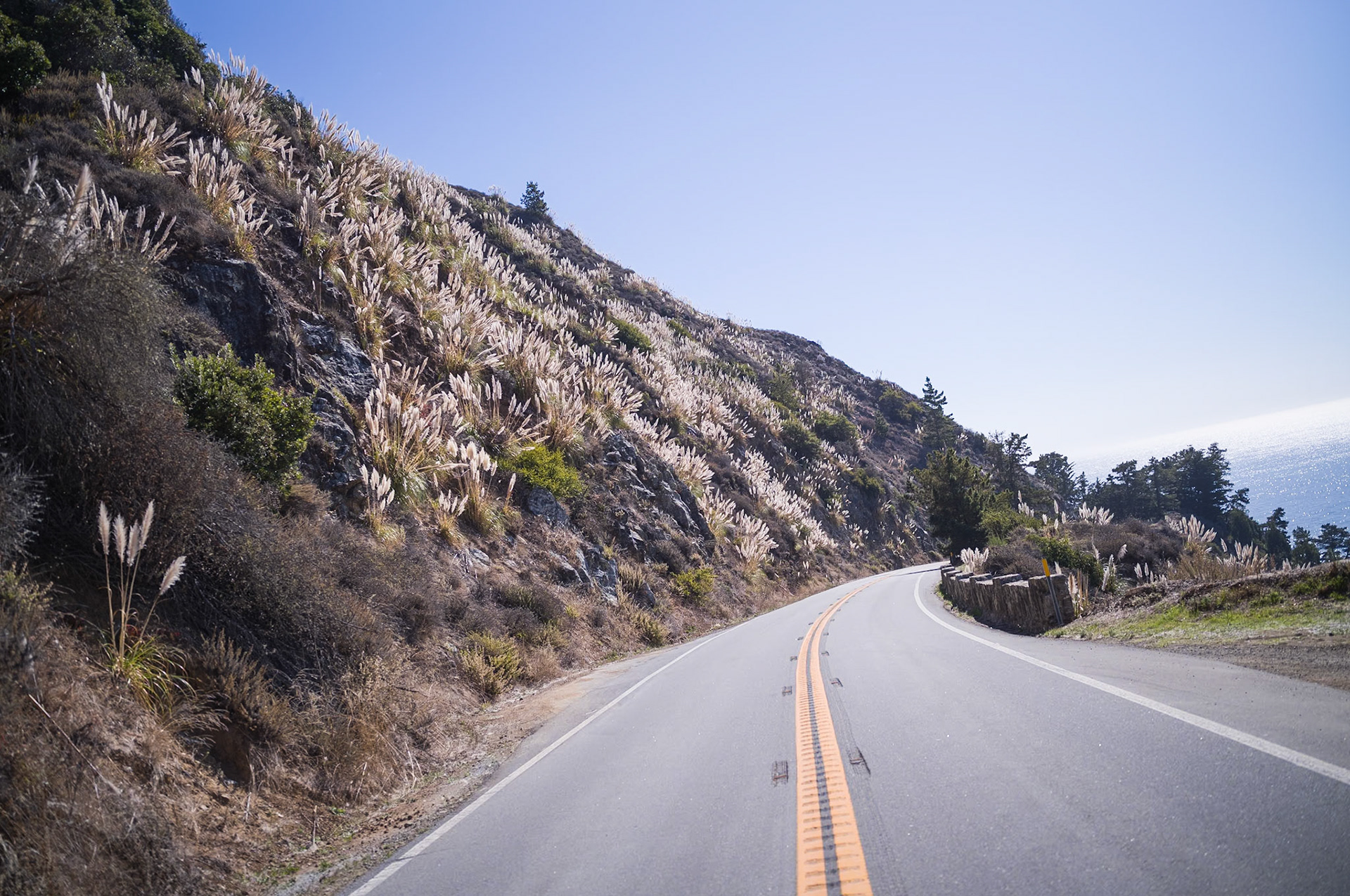
The 1920s would herald the ambitious construction of the PCH, a feat of engineering that demanded the sculpting of cliffsides, crafting of numerous bridges, and fortification of coastal slopes. The labor was arduous and perilous, undertaken in a pre-modern era of machinery, where today's technological conveniences were the stuff of science fiction.
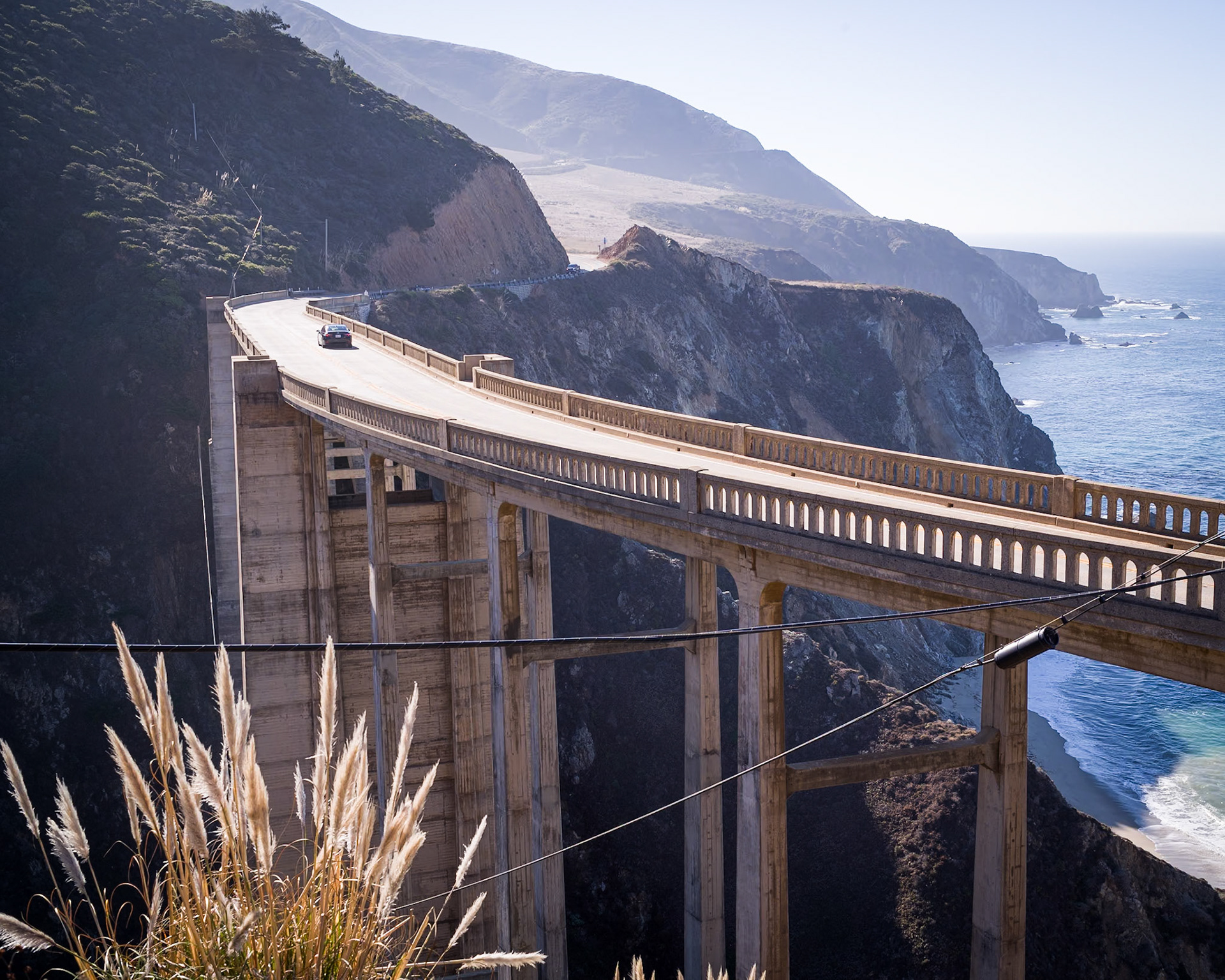
Among the Herculean tasks was the creation of the Bixby Bridge near Big Sur, completed in 1932. At that time, it boasted the title of the longest concrete arch span within the California State Highway System. Today, it stands as an enduring emblem of the PCH. Interestingly, Ansel Adams, famed for his majestic black-and-white photographic landscapes of Yosemite and other California icons, did not capture this bridge as one of his subjects. Furthermore, despite living in the Carmel Highlands later in life, Adams did not photograph much of his Central Coast backyard, which remains a curious gap in the portfolio of a man so attuned to the nuances of natural beauty of California.
Woven into the fabric of the PCH is the legacy of El Camino Real, the historic route laid down by the Spanish that linked together a chain of 21 missions across California. These missions, some of which stand to this day as historical relics and active parishes, are reminders of the state's early European settlement and the spread of Spanish culture along the coast.
Designated as State Route 1 in 1934, the highway's full glory wasn't realized until 1937 when it was finally inaugurated in its entirety. Yet, the passage that greeted travelers then has undergone a metamorphosis over the decades. The PCH of yesteryear has seen realignments, enhancements, and modifications to accommodate the evolving demands of travel and safety. The PCH has had more facelifts than a Hollywood starlet, but let's face it, it's aged a lot better too, maintaining its classic allure without succumbing to the fads of passing decades.
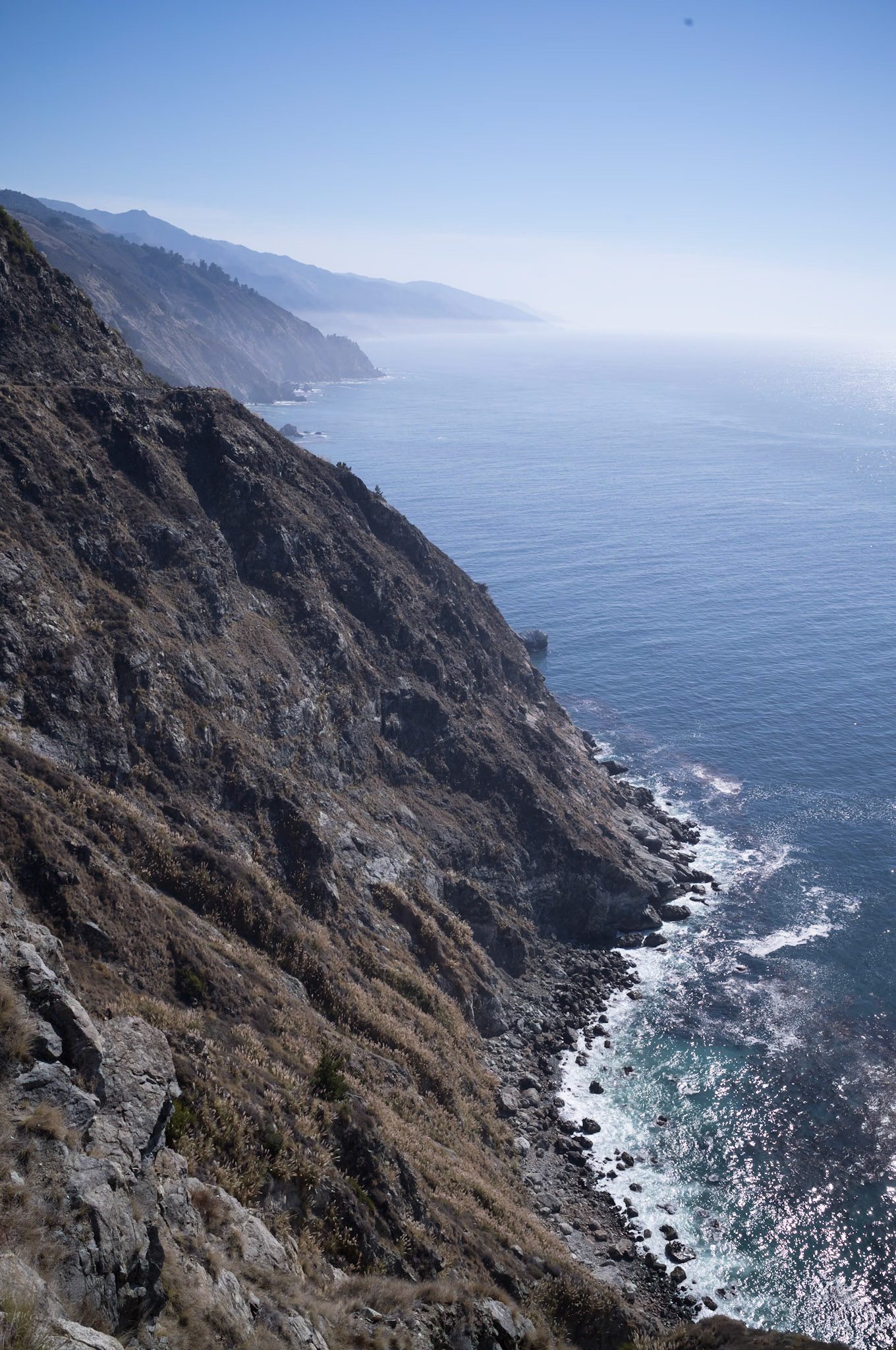
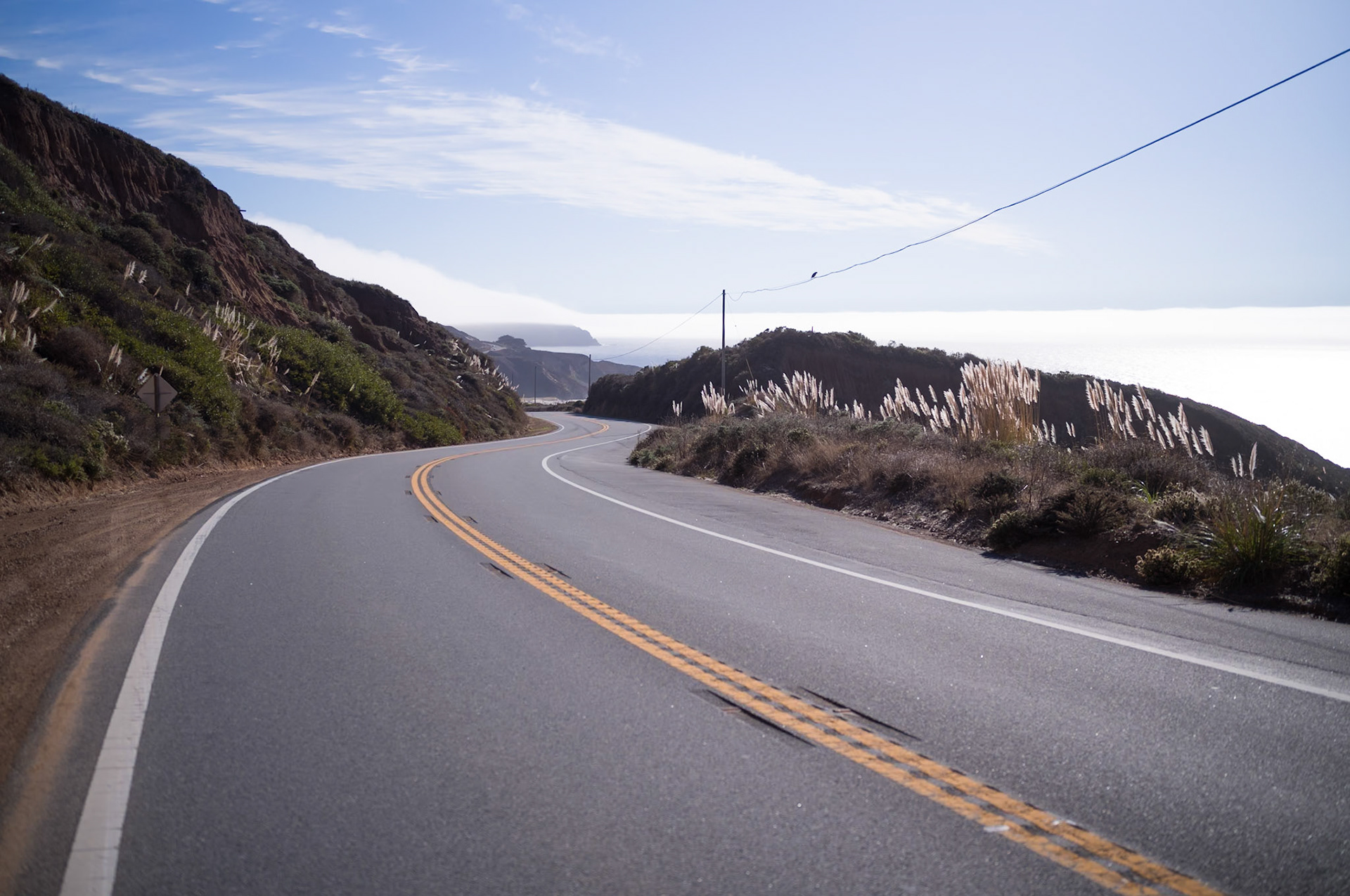
The PCH has not been immune to the whims of Mother Nature, with landslides and earthquakes prompting periodic closures and necessitating extensive repairs and detours. The relentless task of maintaining this coastal conduit is a testament to the dynamic and ever-changing landscape of the California coast. My own experiences driving the PCH, particularly the stretch from Monterey to Los Angeles, have been both awe-inspiring and at times, hindered by these natural events.
The PCH, perhaps even more emblematically than the storied US Route 66, captures the essence of American wanderlust and the seductive call of the open road. Its presence in popular culture is ubiquitous, gracing the screen and airwaves, yet to witness its grandeur in person is to partake in a quintessentially American pilgrimage. Each curve and crest along the highway reveals a story, a vista, a moment in time that is both ephemeral and eternal – a journey that is as much about the traveler as it is about the landscape.
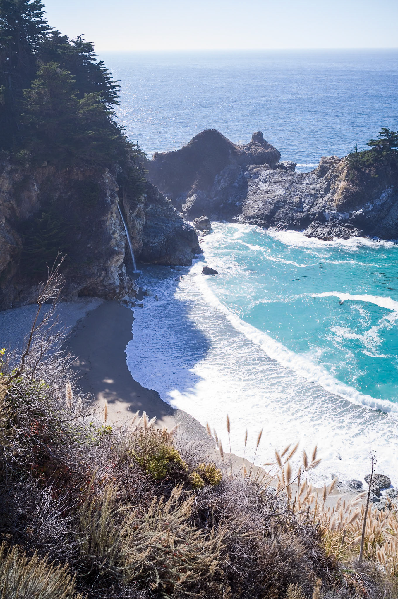
McWay Falls in Julia Pfeiffer Burns State Park